San Francisco Neighborhood Lifestyles by Daily Routine
May 14, 2026
May 14, 2026
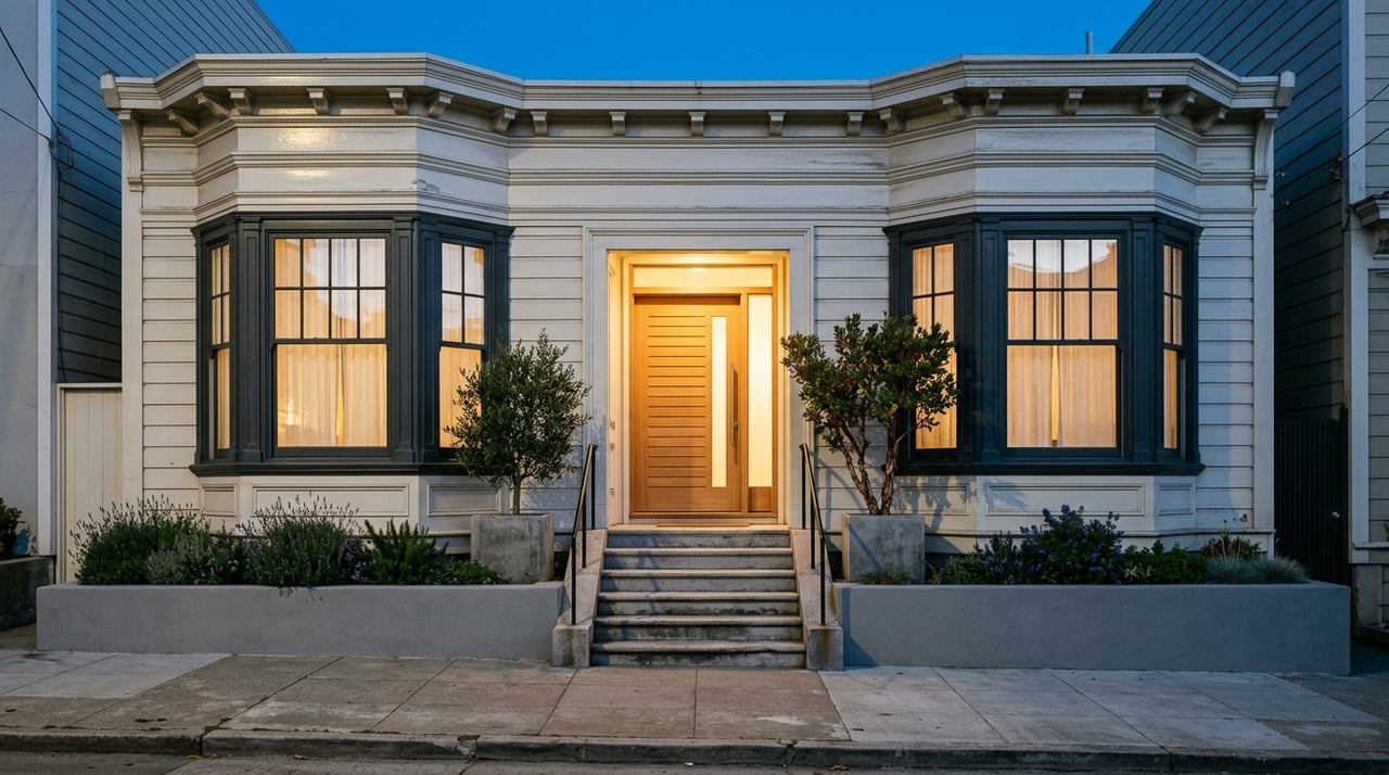
Looking for the “right” San Francisco neighborhood can feel like chasing a moving target. A few blocks can change your daily routine, your commute, and even the weather you experience. If you are trying to figure out how different parts of the city actually live day to day, this guide will help you compare the tradeoffs that matter most. Let’s dive in.
San Francisco’s neighborhoods are shaped by history, geography, and culture, and they do not have official boundaries. The Planning Department uses 37 distinct neighborhoods for notification purposes, which is a useful reminder that block-by-block differences matter here.
That structure shows up in everyday life. The city’s General Plan is built around walkable neighborhoods connected by transit, walking, and biking, so the rhythm of your day often depends on whether you are near a mixed-use corridor, on a quieter hillside street, or closer to the waterfront.
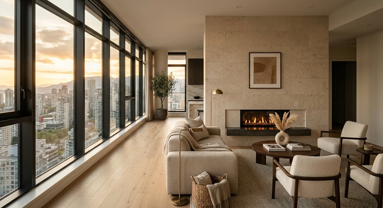
In practical terms, San Francisco lifestyle is often a tradeoff among street energy, residential quiet, transit convenience, open space, and access to the Bay. Once you understand those patterns, it gets much easier to narrow in on areas that fit how you want to live.
Some neighborhoods are designed to make daily life easier without relying heavily on a car. In these areas, errands, transit, coffee runs, and evening plans often happen along the same few streets.
San Francisco’s planning framework supports this on purpose. Neighborhood commercial districts are meant to serve nearby residents, retain neighborhood-serving businesses, and keep active pedestrian frontages, while still protecting the scale of nearby residential blocks.
Market Street is San Francisco’s main transit artery and one of its most active multiuse corridors. It is dense, busy, and central to commuting, errands, and after-work activity, with ongoing work focused on accessibility, safety, and streetscape improvements.
If you want a car-light routine, this kind of setting can be especially appealing. You are more likely to have transit, services, and daily necessities within a short walk, which can make the city feel more connected and manageable.
The Market and Octavia area plan emphasizes mixed-use infill, active ground-floor uses, and neighborhood commercial streets as a center of daily life. It also highlights Hayes Valley’s finer-grain alleys and public spaces, which help create a more layered street experience.
For you as a resident, that can translate to a lifestyle with more movement and more overlap between home, errands, and social time. Streets tend to feel active, while nearby residential pockets still provide some separation from the busiest corridors.
The Mission area plan identifies Mission Street and Valencia Street as key corridors. It also points to the area’s mix of land uses, lower-scale residential sections, and view corridors toward Twin Peaks, Potrero Hill, Bernal Hill, and downtown.
That mix is part of what makes the Mission feel dynamic in daily life. You may have quick access to local businesses and transit on one street, then a more residential rhythm just a short walk away.
Glen Park offers a different version of convenience. Its community plan centers on a small village district along Diamond and Chenery, paired with BART, local shops, and a human-scaled street life.
Planning describes Glen Park as village-like, set in a valley with steep topography and winding streets. For many buyers, that combination of transit access and smaller-scale neighborhood character is what makes it stand out.
The Inner Sunset’s Irving Street corridor functions as a neighborhood commercial district, while the surrounding area is shaped by natural edges like Mount Sutro, Laguna Honda Reservoir, Forest Hill, and Golden Gate Heights. That creates a daily pattern that feels less centered on a large retail core and more focused on a few dependable commercial blocks, nearby parks, and transit access.
If you want convenience without the intensity of the city’s busiest corridors, this can be a useful model. You get a neighborhood-serving street network while keeping a more residential pace around it.
Other parts of San Francisco feel defined less by storefronts and more by terrain, views, and smaller residential streets. In these neighborhoods, your day may feel more local and home-centered, with fewer continuous retail stretches nearby.
That does not mean disconnected. It simply means the neighborhood experience often revolves around residential streets, open space, and select commercial pockets rather than all-day street activity.
Even within Glen Park, the experience can shift quickly. The plan notes steep topography and winding streets, and it also identifies San Jose Avenue as a major barrier that bisects nearby neighborhoods.
This is a good example of why block-level analysis matters in San Francisco. Two homes with the same neighborhood label can offer very different everyday routines depending on their relationship to transit, grade, and commercial areas.
Planning describes Corbett Heights as having an irregular street pattern, dramatic elevation changes, and a mix of residential buildings from many eras. Diamond Heights was envisioned as a residential neighborhood with limited access, curving streets, and broad views on steep slopes.
For some buyers, that kind of setting offers welcome quiet and a stronger sense of retreat. For others, the tradeoff may be less immediate access to retail corridors and a daily routine that depends more on planning your routes through the neighborhood.
In practical terms, quieter hillside and edge neighborhoods often appeal to people who value a more contained residential atmosphere. You may notice less through-traffic, fewer active storefront stretches, and more emphasis on streetscape, terrain, and outlooks.
These areas can feel especially different from San Francisco’s busier mixed-use districts. The city still stays connected through transit and open space, but the pace often feels more measured.
San Francisco’s waterfront is not one continuous lifestyle zone. The Port manages 7.5 miles of shoreline, and that edge includes recreation, historic districts, small businesses, maritime activity, and major public spaces.
That variety creates a very distinct daily experience. Living near the water can mean more visual openness, more recreational access, and stronger connections to promenades, marinas, and shoreline routes.
The Northeastern Waterfront plan links the Embarcadero to widened sidewalks, public art, a historic streetcar line, and a Muni Metro extension into Mission Bay. These public-facing improvements help explain why the area feels oriented toward movement, access, and public space.
For residents, that often means daily life with an outdoor component built in. Walking routes, waterfront views, and public realm improvements become part of the routine, not just occasional amenities.
The Central Waterfront plan describes a mixed-use neighborhood where housing, neighborhood commercial services, and transit coexist with remaining industrial and maritime uses. It also calls Dogpatch a fine-grained, walkable enclave and emphasizes public windows to the Bay.
That blend gives the area a different texture from inland neighborhoods. It can feel walkable and residential in one moment, then more tied to working waterfront or industrial legacy uses in the next.
Rincon Hill’s plan focuses on creating a full-service mixed-use residential neighborhood supported by parks, streets, and community facilities. Nearby waterfront areas also include recreation infrastructure such as South Beach Harbor near Oracle Park.
If your lifestyle priorities include Bay access and a strong urban setting, these neighborhoods can be compelling. They often combine high-density residential living with public waterfront amenities and strong transit connections.
The waterfront comes with a different long-term context than many inland areas. The Port’s resilience work is focused on earthquakes, flooding, sea level rise, and shoreline erosion, particularly around the Embarcadero, Mission Creek and Mission Bay, and Islais Creek and Bayview.
That does not erase the appeal of these neighborhoods, but it is part of the full picture. Waterfront living in San Francisco often pairs scenery and recreation with visible infrastructure planning and long-range resilience work.
No matter which neighborhood style you prefer, three citywide factors shape everyday life almost everywhere: transit access, open space, and microclimates. These are often the details that make a neighborhood feel easier, busier, cooler, sunnier, or more flexible once you actually live there.
SFMTA says Muni reaches all corners of the city, and Muni Metro has six lines serving downtown plus western and southeastern parts of San Francisco. Downtown stations between Civic Center and The Embarcadero are shared by Muni and BART.
That reach is one of the clearest lifestyle differentiators in the city. Areas near strong Muni or BART access can support a more car-light routine, while more residential pockets may feel better suited to residents who plan around terrain and transfer points.
San Francisco’s Recreation and Open Space Element says the city has more than 3,400 acres of open space owned and managed by Recreation and Park, along with additional state and federally owned open space. The system is intended to connect neighborhoods and support non-motorized movement.
This matters because open space shows up differently depending on where you live. In some neighborhoods, it is part of a waterfront route or urban plaza network. In others, it helps define the edges and rhythm of residential life.
San Francisco’s climate is Mediterranean, with rain typically from November through March. The National Park Service also notes that fog often begins in spring and can persist through summer, with dramatic microclimate shifts from one neighborhood to another and an average annual temperature of 62.5°F.
That means weather is not just background information. It can shape how often you walk, how you use outdoor space, and even which parts of the city feel most comfortable for your day-to-day routine.
If you are comparing San Francisco neighborhoods, start by thinking about how you want a normal Tuesday to feel. Do you want a short walk to transit and errands, a quieter residential setting with more topographic character, or a home base closer to the Bay and public waterfront space?
A useful way to frame your search is to compare neighborhoods across five factors:
San Francisco is a city where a small shift in location can change your experience in a big way. That is why neighborhood guidance is most helpful when it goes beyond broad labels and looks closely at the blocks, streets, and daily patterns that shape real life.
Whether you are buying your first city condo, planning a move-up purchase, or preparing to sell and reposition into a different part of San Francisco, clear neighborhood context can help you make a more confident decision. If you want tailored guidance on where your lifestyle and goals align best, Stephen J Bartlett offers thoughtful, hands-on advice grounded in deep San Francisco market knowledge.
Stay up to date on the latest real estate trends.

Along with his team, Stephen believes that you are entitled to the best real estate counsel you can get. Personal. Engaged. Strategic. Effective.